In the world of overlanding, reliable navigation is the invisible companion you don’t want to travel without. Getting off the beaten track is the dream, but staying found in remote locations, planning efficient routes, and accessing key information on campsites, border crossings or terrain features are essential for a safe and enjoyable journey.
Three prominent names dominate this space: Gaia GPS, Garmin Overlander, and Tracks4Africa. Each offers unique strengths, limitations, and practical applications — but understanding how they differ, and how they can complement each other, could be the key to your next unforgettable adventure.
Gaia GPS – A Digital Giant for Route Planning
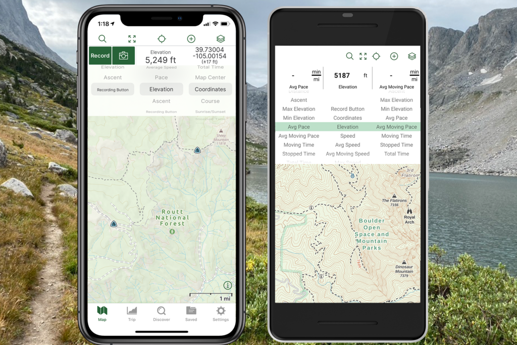
Originally developed with hikers and backpackers in mind, Gaia GPS has earned a solid reputation among overlanders looking for flexibility and mapping detail. It’s a smartphone-based app that runs on both iOS and Android, and offers a web platform for planning. Its appeal lies in customisable mapping layers, offline capabilities, and robust tracking features.
Top Features:
- Dozens of downloadable map layers, including topographic, satellite, road, and weather overlays
- Route plotting, with elevation profiles and estimated travel times
- Waypoint marking, tracking, and field notes
- Offline downloads — essential when traversing signal-dead areas
- Cloud sync and desktop route planning

User Feedback:
Gaia GPS shines in versatility, but it’s not without challenges. Some users have raised concerns about:

- A steep learning curve, especially for non-tech-savvy users
- Map download glitches in some regions
- Questionable customer support after the app was acquired by Outside Inc.
- A growing commercial push, reducing focus on user-led improvements
Still, many overlanders use Gaia GPS as their primary planning and digital tracking tool, especially when combined with satellite imagery and offline layers.

Garmin Overlander – Rugged, Reliable, and Built for Off-Grid
The Garmin Overlander is a purpose-built GPS device designed specifically for overlanders, 4×4 adventurers and expedition drivers. With a rugged 7-inch touchscreen and full integration with Garmin’s GPS and mapping ecosystem, it’s engineered to withstand the dust, vibration and rough conditions of African terrain.
Top Features:
- Turn-by-turn navigation on- and off-road
- Topo maps and preloaded iOverlander & Tracks4Africa POIs
- Altimeter, barometer, compass and accelerometer
- Built-in Wi-Fi and Bluetooth, plus compatibility with Garmin’s Explore app
- Supports multiple satellite constellations (GPS, GLONASS, Galileo)
What Overlanders Love:
- Standalone reliability – no mobile phone or app required
- Sturdy construction with a strong mount system
- Can store tracks, waypoints and even import/export GPX files
However, its price point is a sticking point, and some users say the interface could be more intuitive. It also lacks the map customisation options found in Gaia GPS.


Tracks4Africa – Africa’s GPS Authority
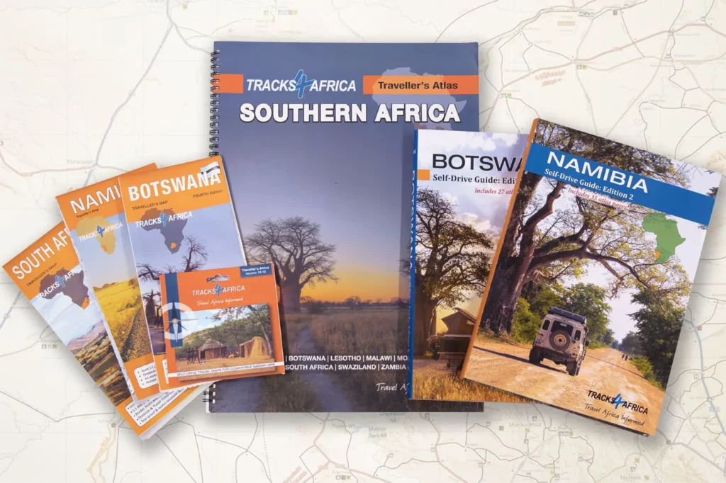
If you’re overlanding in Africa, Tracks4Africa (T4A) is practically a household name. Built by travellers, for travellers, it uses real-world track logs contributed by the overlanding community to build one of the most detailed and accurate routing systems available on the continent.
Key Features:
- Comprehensive map data for all of sub-Saharan Africa
- POIs include border posts, campsites, fuel stops, mechanics, recovery services and more
- GPS-compatible maps for Garmin units and the T4A Guide App (for Android & iOS)
- Turn-by-turn routing and estimated travel times based on real-world driving
The Bottom Line:
- Exceptional in rural and remote African regions
- Extremely detailed POIs, even in less-travelled countries like Angola or the Congo
- Works best with Garmin GPS units or Android devices using the T4A Guide App
While its focus is purely Africa, that’s also its limitation. It’s not a global solution like Gaia GPS or Garmin, but within Africa, it’s often the gold standard.
Which One Should You Choose?
The answer is – why not combine the strengths of all three?
| Use Case | Gaia GPS | Garmin Overlander | Tracks4Africa |
|---|---|---|---|
| Route planning | ✔ Best in class | ✔ Good via Garmin Explore | ✖ Not as flexible |
| Offline maps | ✔ Fully downloadable | ✔ Built-in | ✔ On GPS or app |
| Africa-specific POIs | ✖ Limited | ✔ iOverlander + T4A | ✔✔ Best for Africa |
| On-road routing | ✔ Basic | ✔✔ Excellent | ✔ Good for Africa |
| Hardware ruggedness | ✖ Depends on phone | ✔✔ Designed for abuse | ✖ Depends on GPS/app |
| Price | ✔ Subscription-based | ✖ Expensive | ✔ Once-off purchase |
The Power of a Combined System
A savvy overlander might use:
- Gaia GPS for planning and custom map layers
- Garmin Overlander as a dash-mounted, standalone unit for navigation
- Tracks4Africa for localised POIs, route logic, and on-the-ground accuracy in Africa
Used in tandem, these tools reduce your risk of getting lost, improve your route planning, and ensure you’re always prepared, whether you’re crossing the Namib or crawling through the Drakensberg.
Final Thoughts
Modern overlanders are lucky to have so many powerful navigation tools at their fingertips. While each of these platforms has its own strengths and shortcomings, combining them turns a good system into a great one. With Gaia GPS for planning, Garmin Overlander for execution, and Tracks4Africa for local insights, you’ll have the ultimate digital copilot — no matter where the road (or track) takes you.